
CREATING A LANDSCAPE-LED NEIGHBOURHOOD
The result is intended to be a sustainable and attractive place to live that integrates successfully with the surrounding area. The CGI images overleaf illustrates the emerging vision for the site. They demonstrate:
• Two-storey family homes
• Significant landscape planting
• Open green spaces
• Play areas
• A low-density layout
• A development that sits comfortably
within its surroundings
This landscape-led approach underpins every aspect of the proposals.
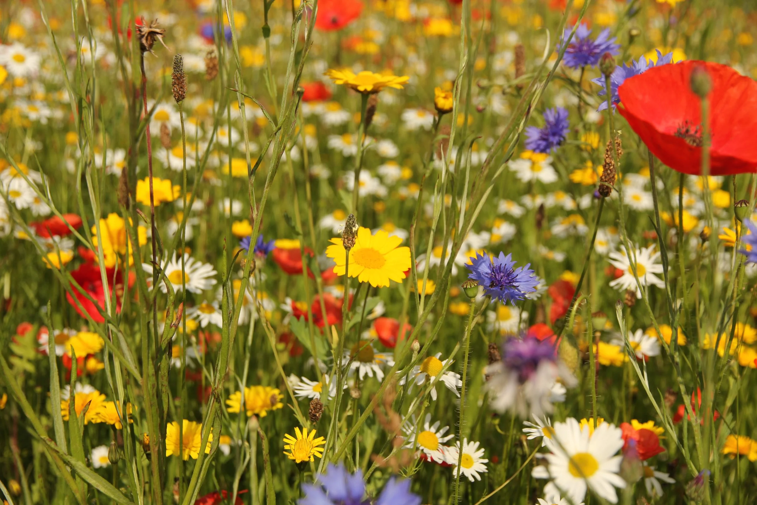
THE LAYOUT HAS BEEN DESIGNED TO:
Our vision is to create a high-quality new neighbourhood that responds positively to its surroundings whilst helping meet local housing needs.
Rather than simply placing homes on a site, the proposals have been developed around a landscape-led design approach. Green infrastructure forms the backbone of the scheme.
Create attractive streets and spaces
Provide 50% affordable housing
Deliver a mix of family homes
Retain and strengthen green infrastructure

Introduce significant new planting

Deliver energy- efficient homes

Improve biodiversity

Create children’s play areas

Better access and connectivity